Façade Complex Stadium

Luzhniki Olympic Complex navigation

• OverviewProcess
Task:
to develop a navigation system for an Olympic complex.

The Luzhniki Olympic Complex spans over 150 hectares and contains stadiums, soccer fields, tennis courts, buildings and parking lots.

Every day Luzhniki is visited by five to ten thousand people and the number increases tremendously during important sporting events.

We developed a smart and thoughtful navigation system for the complex in time for the 2018 FIFA World Cup.

luzhniki area navigation entrance

Key objects of the complex are located far from each other (this allows to hold several events at the same time), so the main goal of the system is to make sure visitors don’t get lost on the huge territory of the complex.

luzhniki area navigation stela 01
luzhniki area navigation stela 02
luzhniki area navigation stela 03
Objects on signs are arranged according to their priority. The higher the building is located, the more important it is
Color coding is maintained on all media, from maps to information signs
The miniature image shows current location of the visitor and most of the possible routes


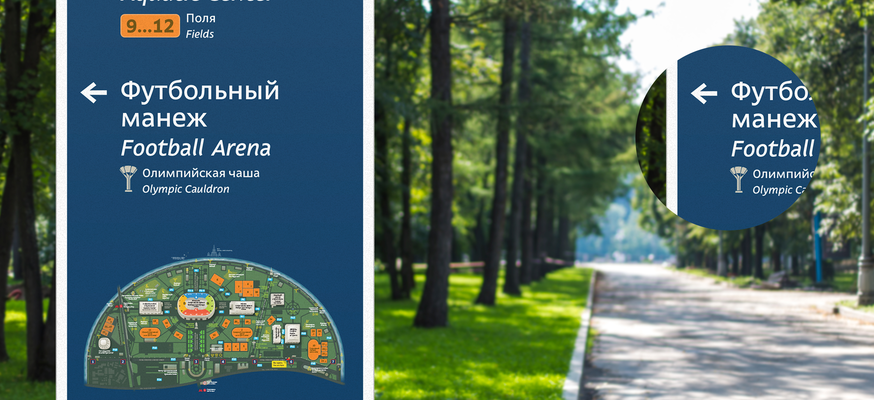
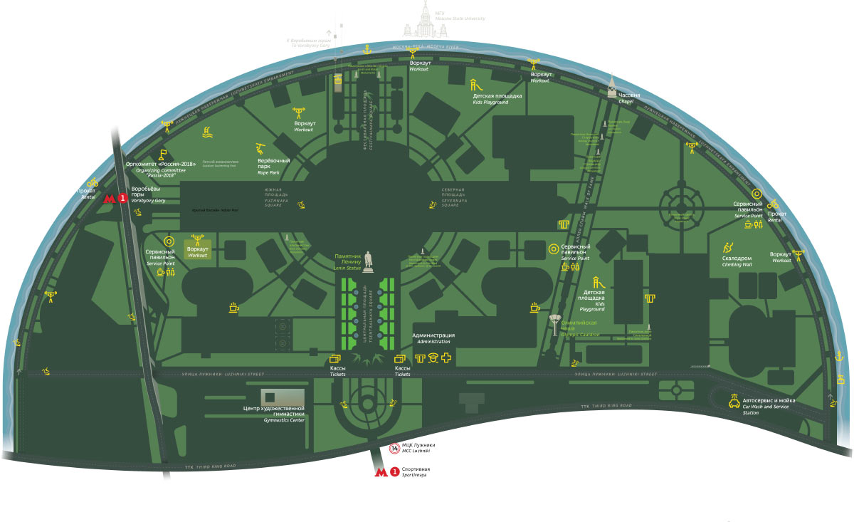
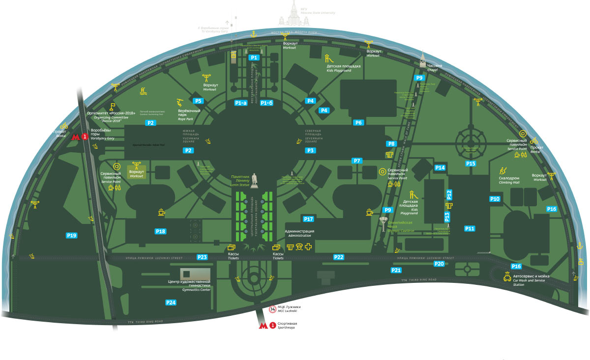
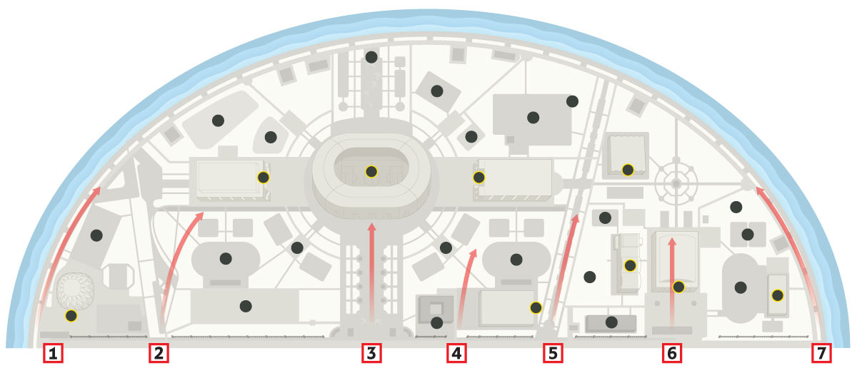
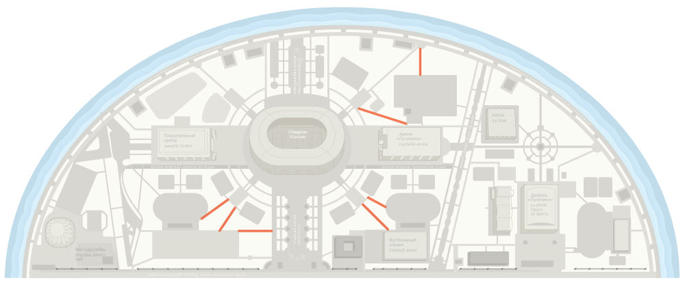
First, we drew a detailed visual map with all objects, key services, fields and parking lots. It differs from other similar maps thanks to its unusual visual features with objects of various types shown in contrasting colors.

The color division prevents the map from looking monotonous and makes it easy to find information.

The map is printed in a very large format that allows to read it from a distance or on the go.

luzhniki area navigation big new

luzhniki area navigation pics
Fields
Entrances
Pictograms
Parking lots
Monuments
Checkpoints

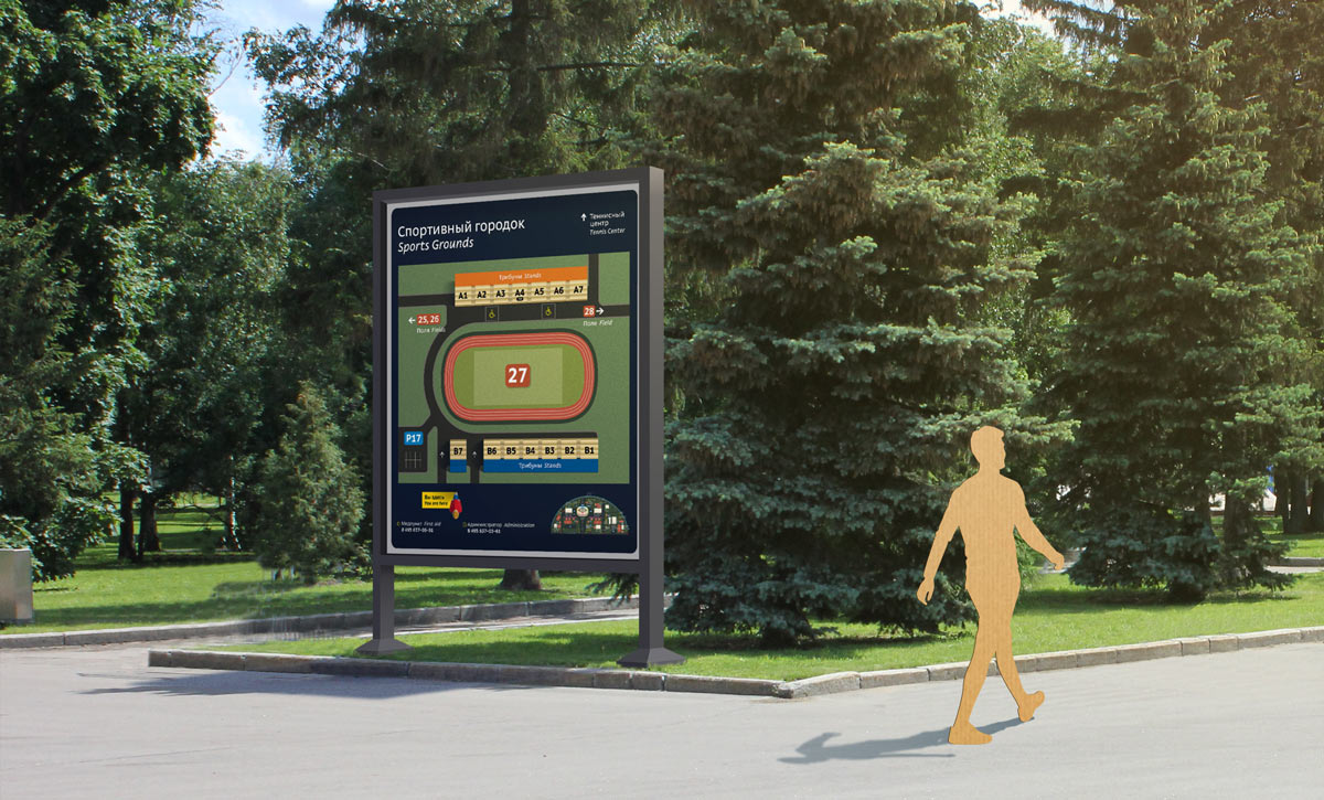
The sports grounds received their own map showing the location of stands and seats.

luzhniki area navigation switcher 01
luzhniki area navigation switcher 02
luzhniki area navigation switcher 03
luzhniki area navigation switcher 04
luzhniki area navigation switcher 05

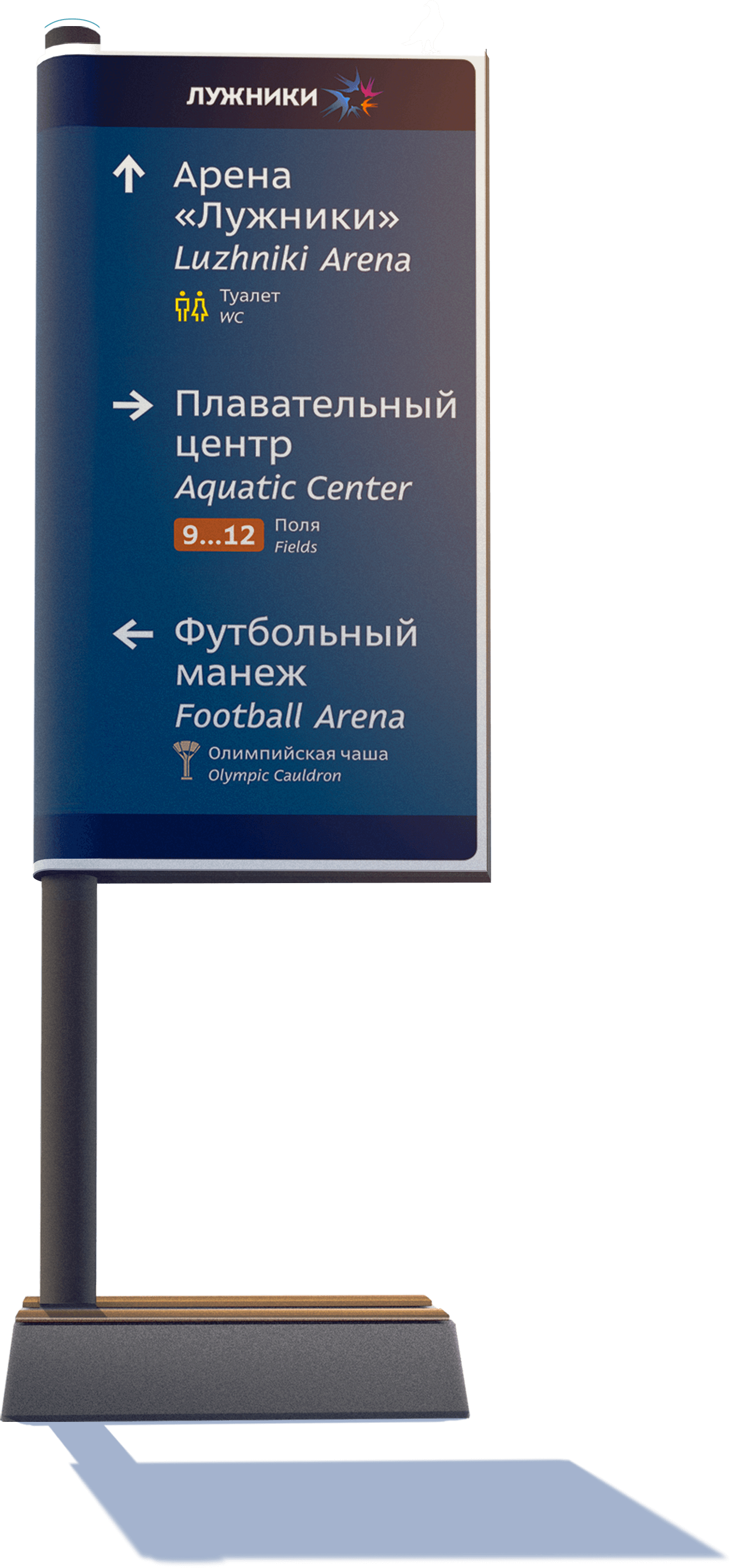
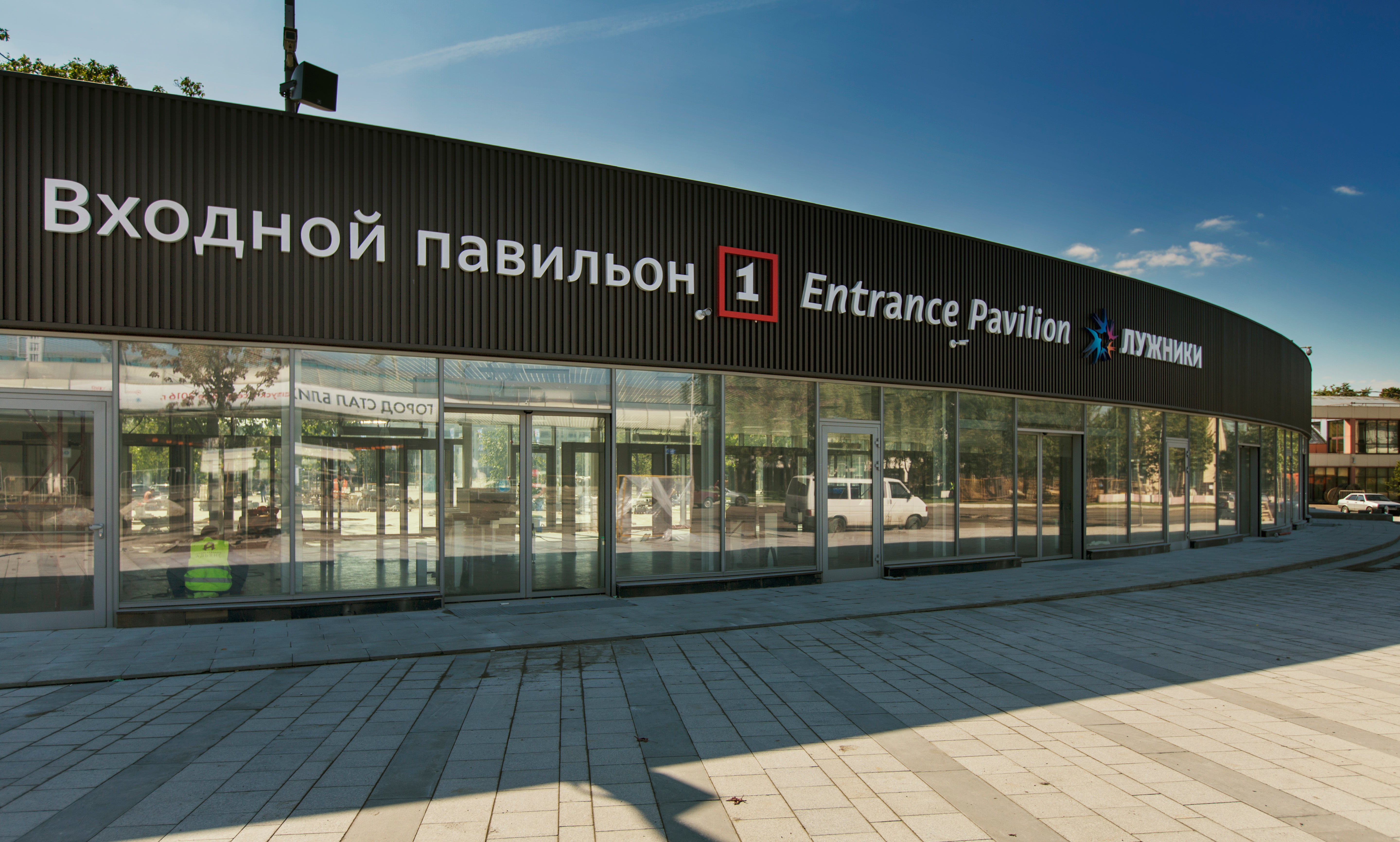
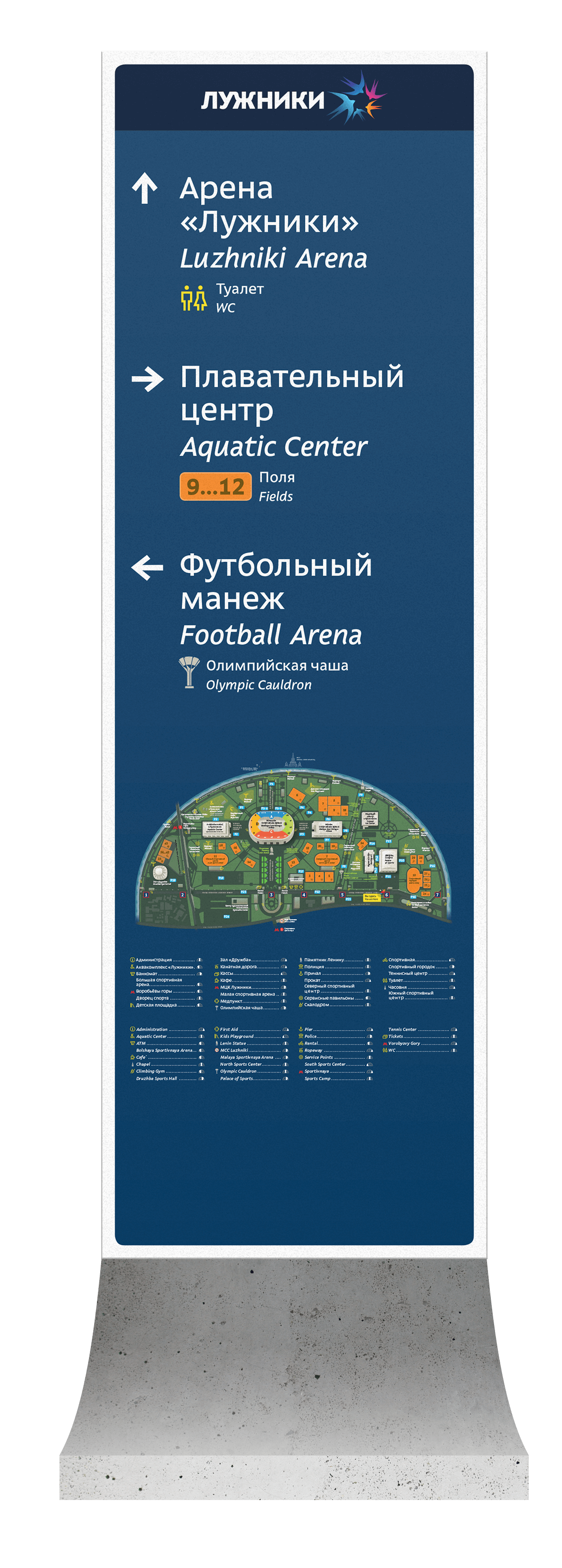
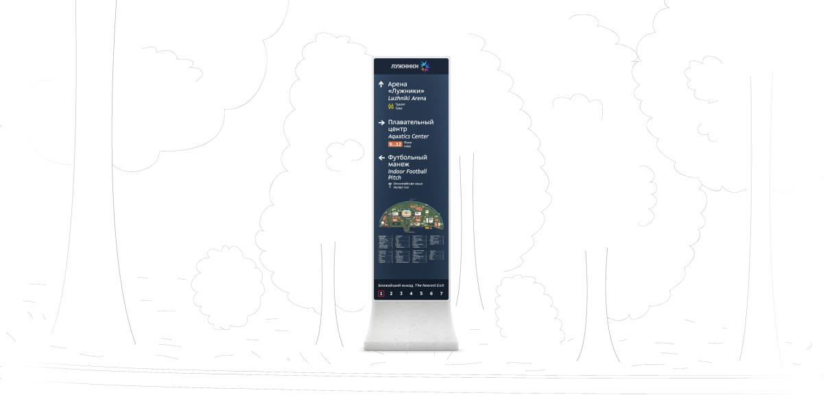
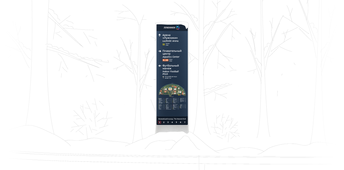
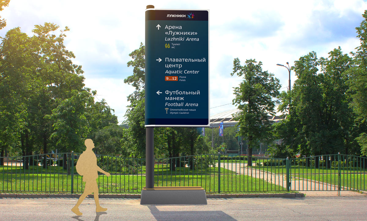
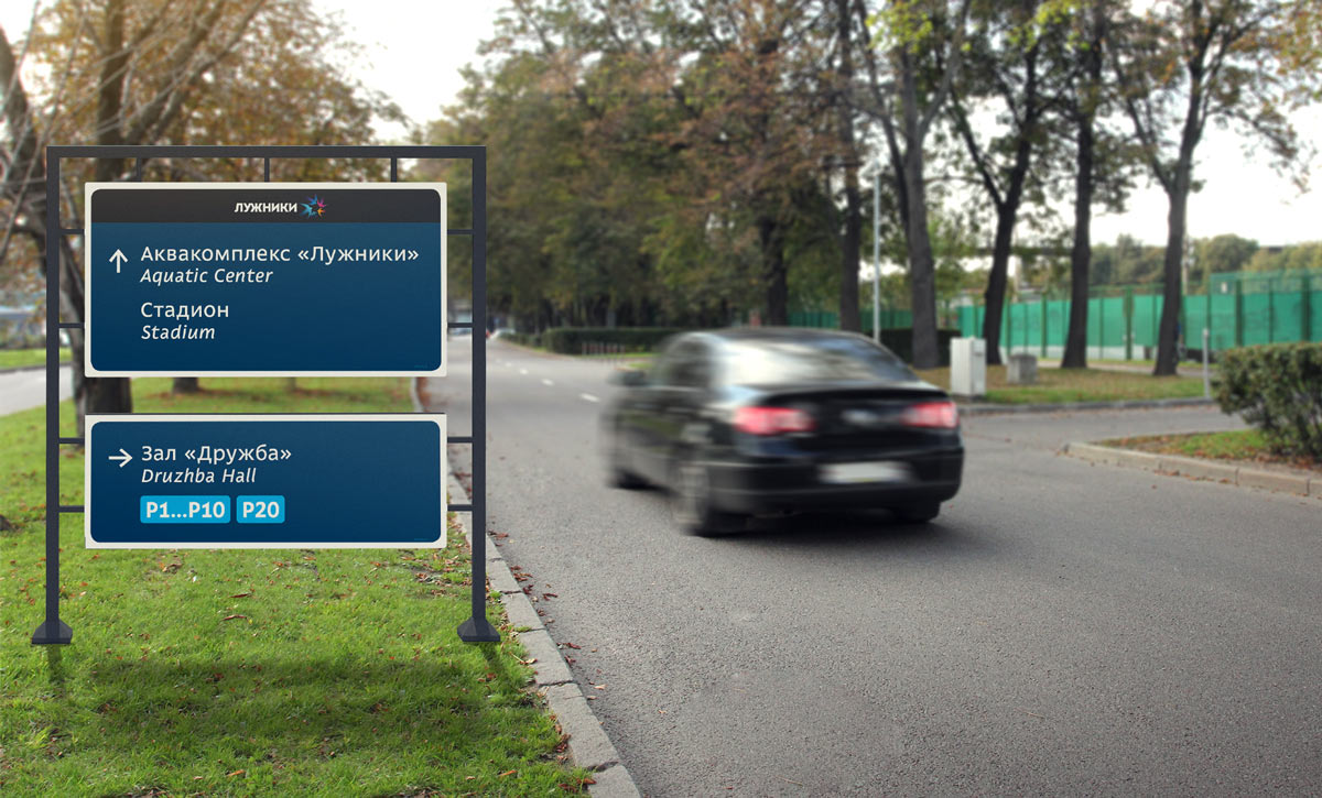
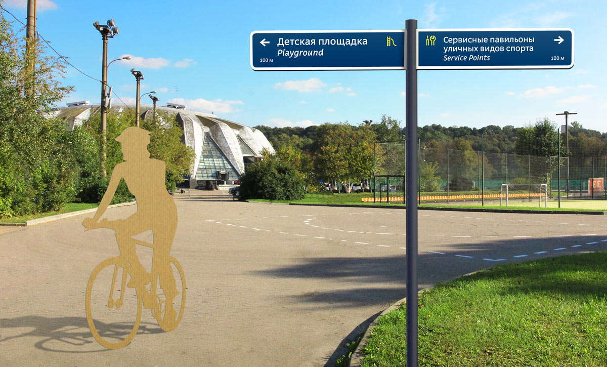
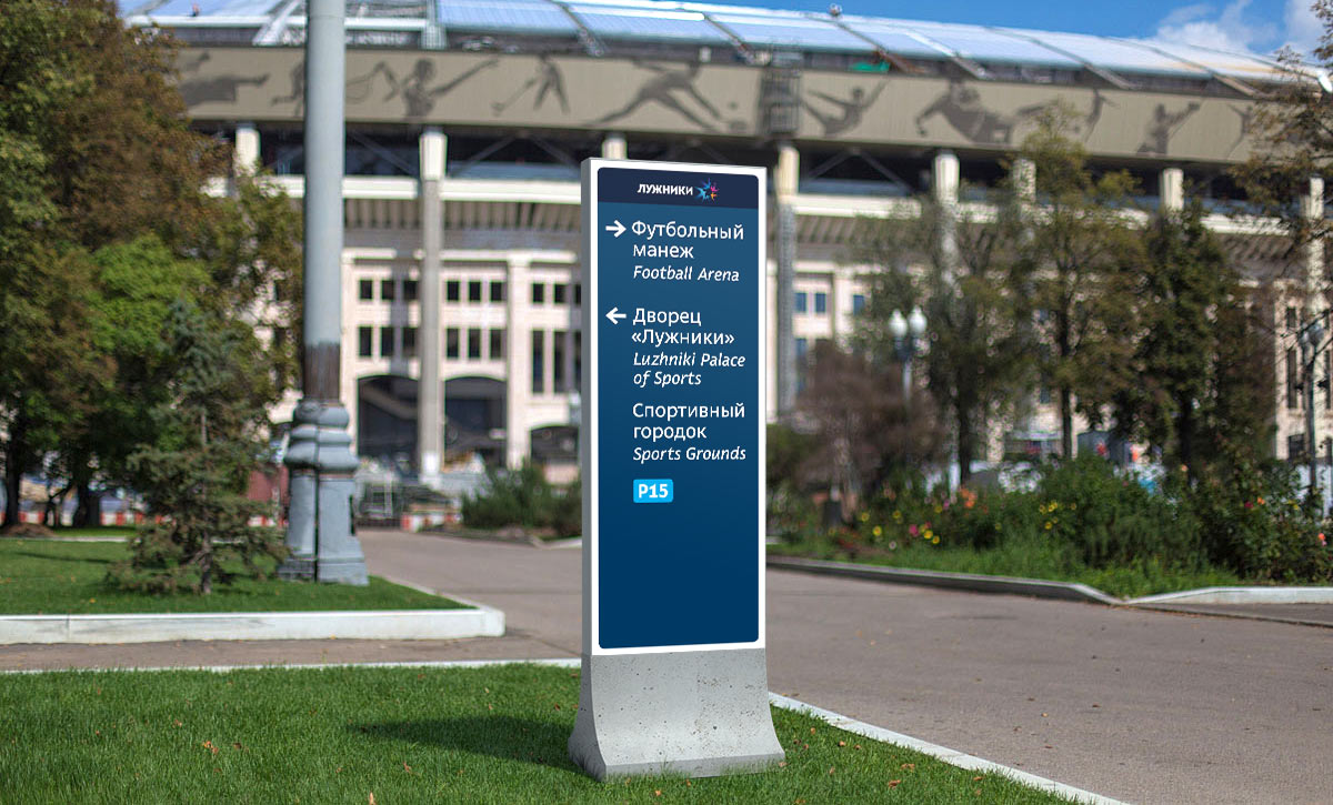
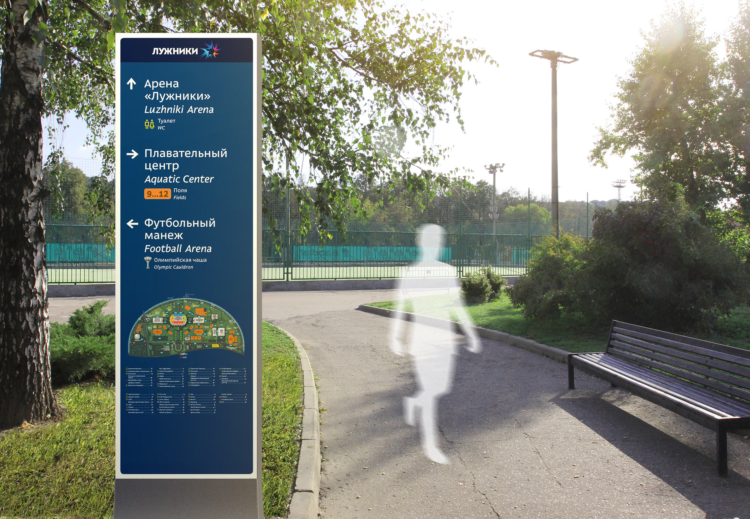
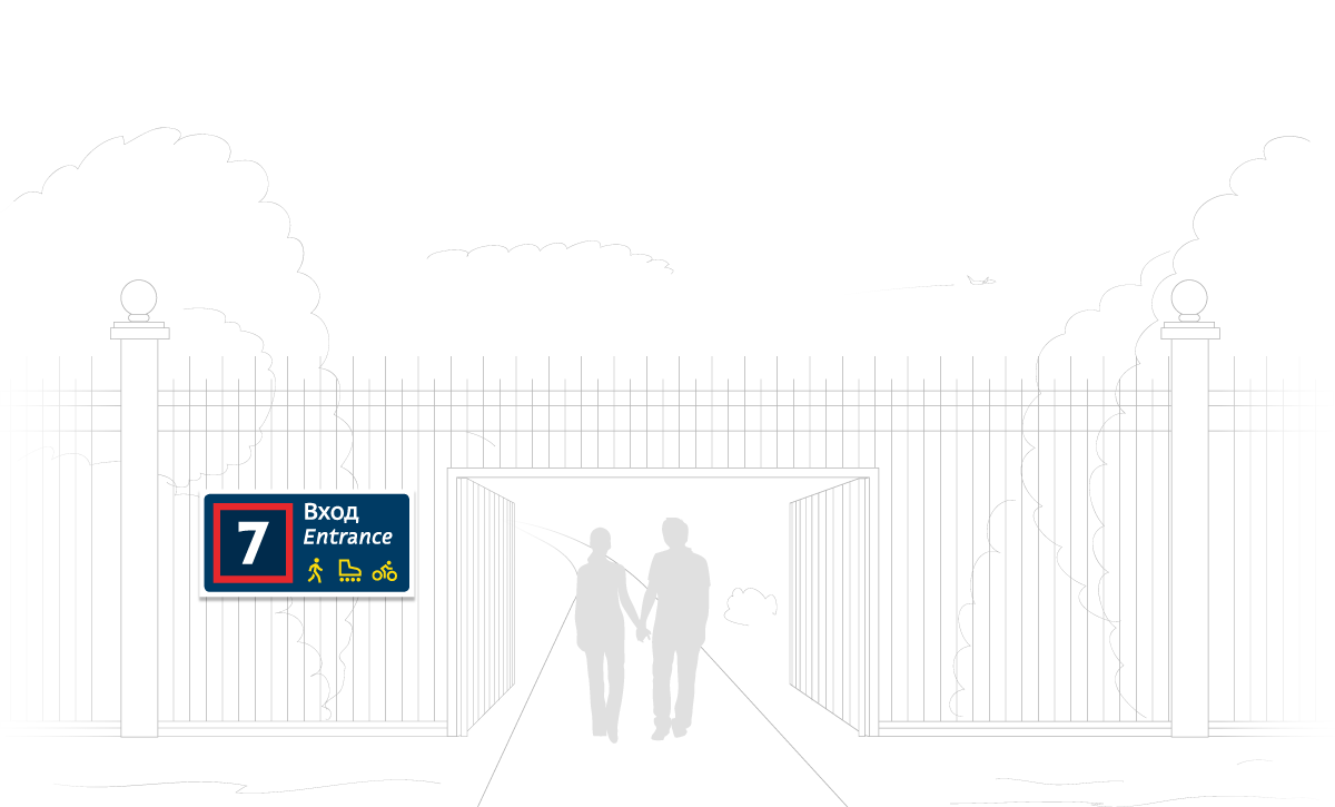
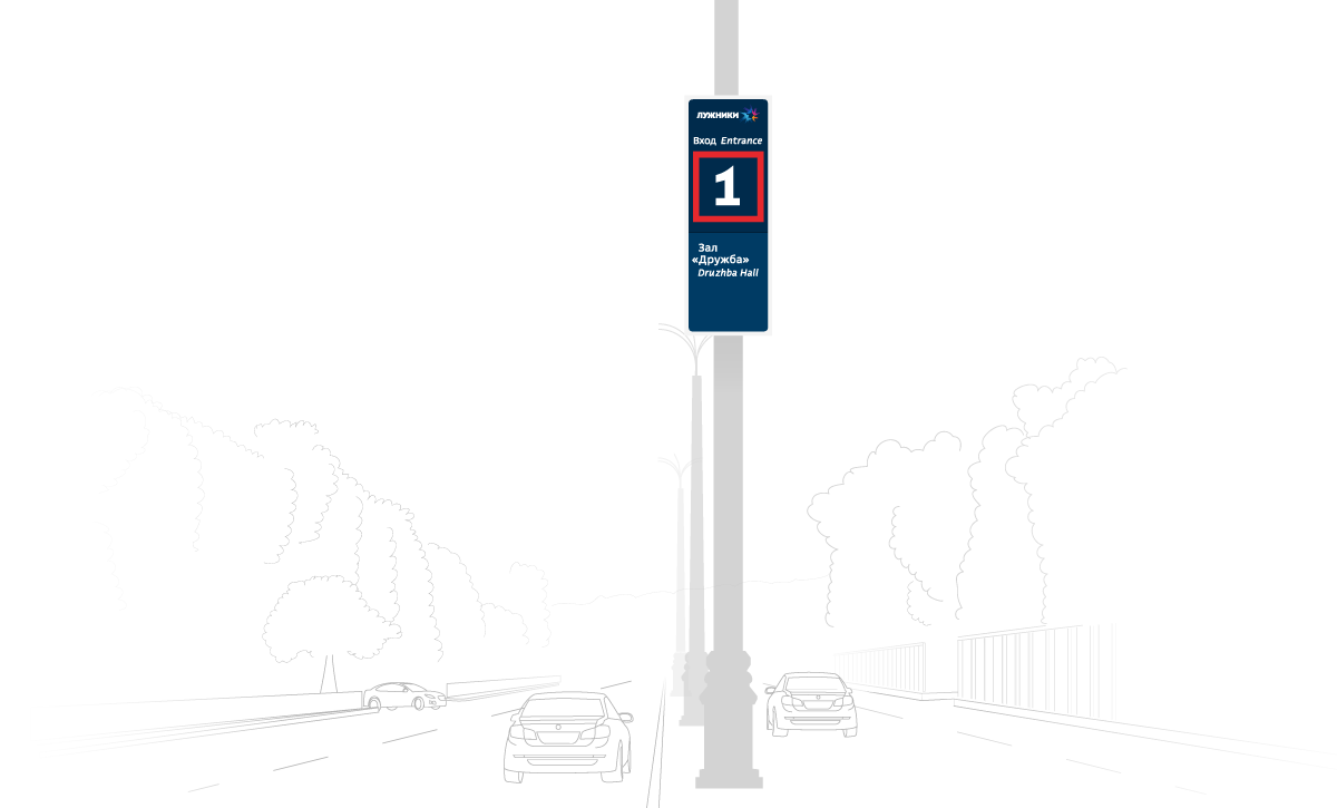
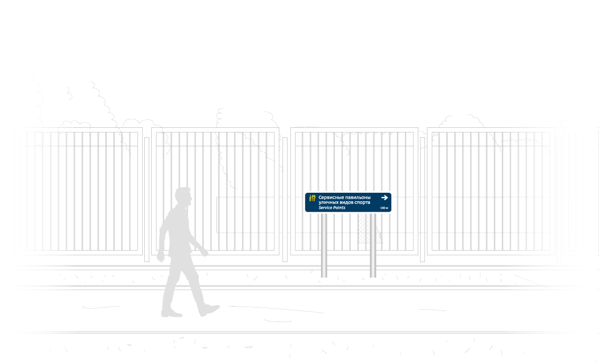
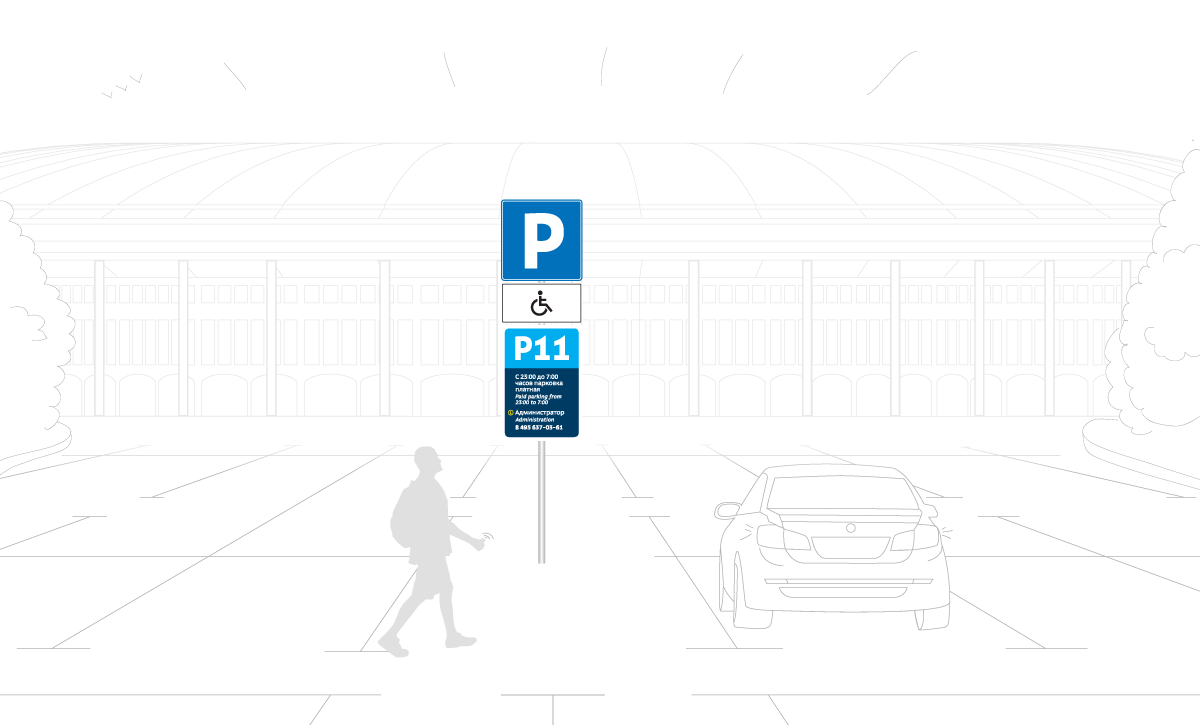
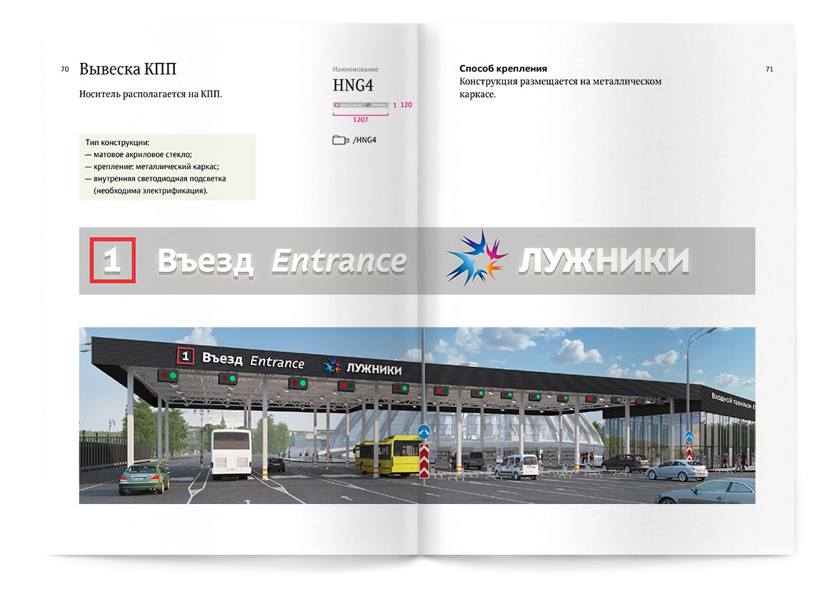
The second step towards a convenient and thoughtful navigation system is the development of all navigation signs. As we mentioned, the Luzhniki Complex contains almost all types of objects that a sports complex can possibly have. Signs, plates and signposts should point to these buildings to prevent visitors from running around in rage trying to find a specific stadium or soccer field.

And this is where we discovered an important issue: there can be a limited number of signs and signposts, yet there is a lot of buildings in Luzhniki and each of them should be findable from anywhere in the complex. How do we choose which objects to list on the signs?

luzhniki area navigation bench

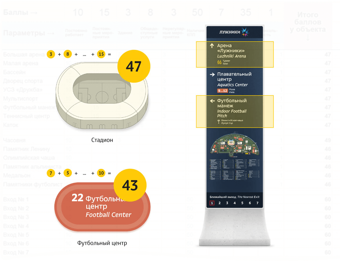
This is where we had a stroke of genius: a system! We need to rank the buildings on a special scale. The more social weight a building has, the higher it is in our internal hierarchy and more often it will appear on signs.

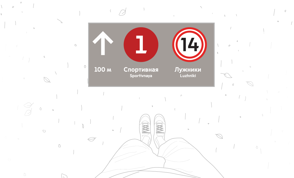
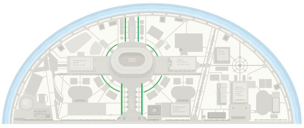
For example, everybody needs to know where Luzhniki Arena is, so several dozen signs point to it.

The system is impartial and removes any subjectivity (“Let’s add the soccer field, it’s much more important than the swimming center!”).

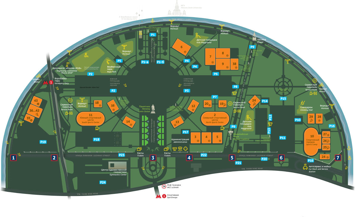
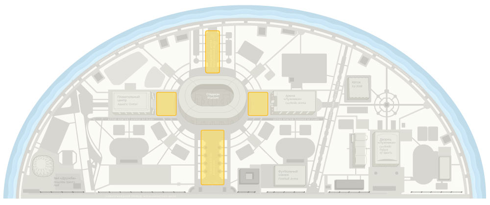
All objects and points on the map are distributed by importance and their rank on the scale.

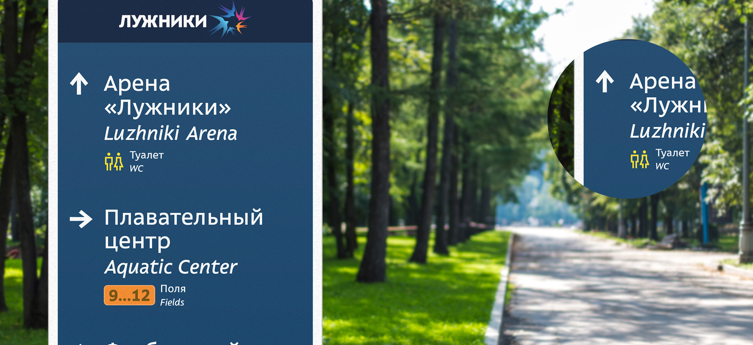
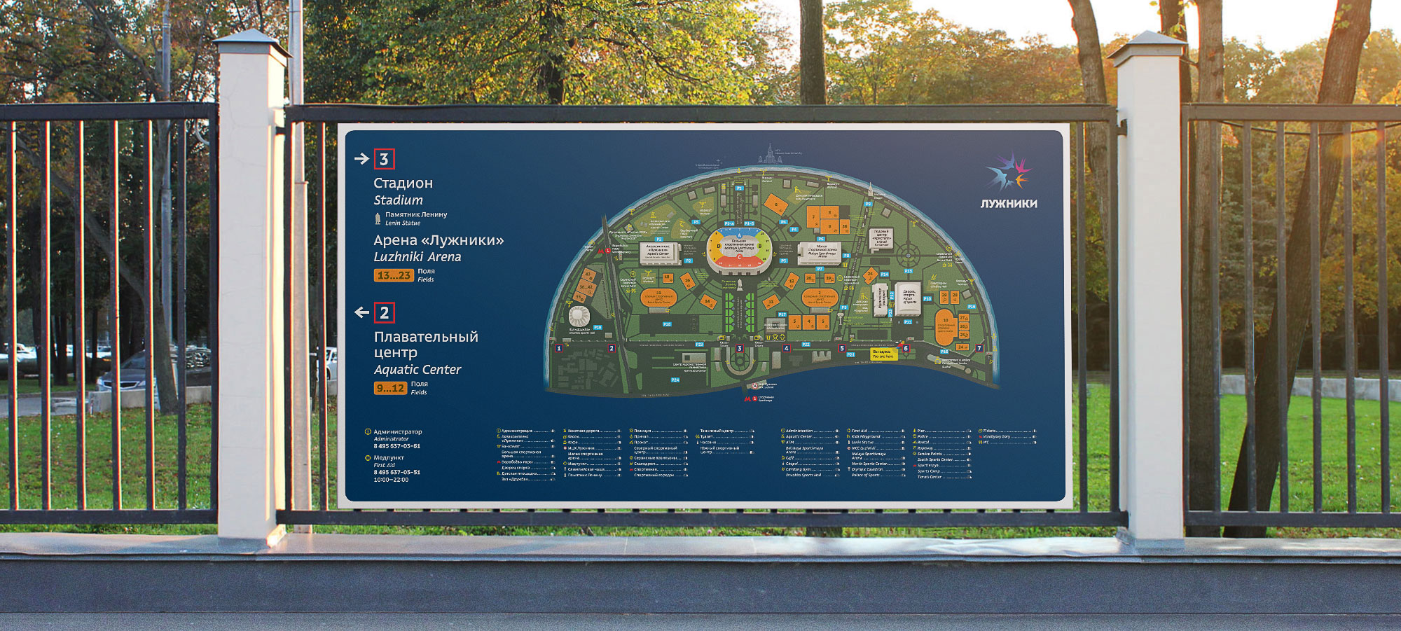
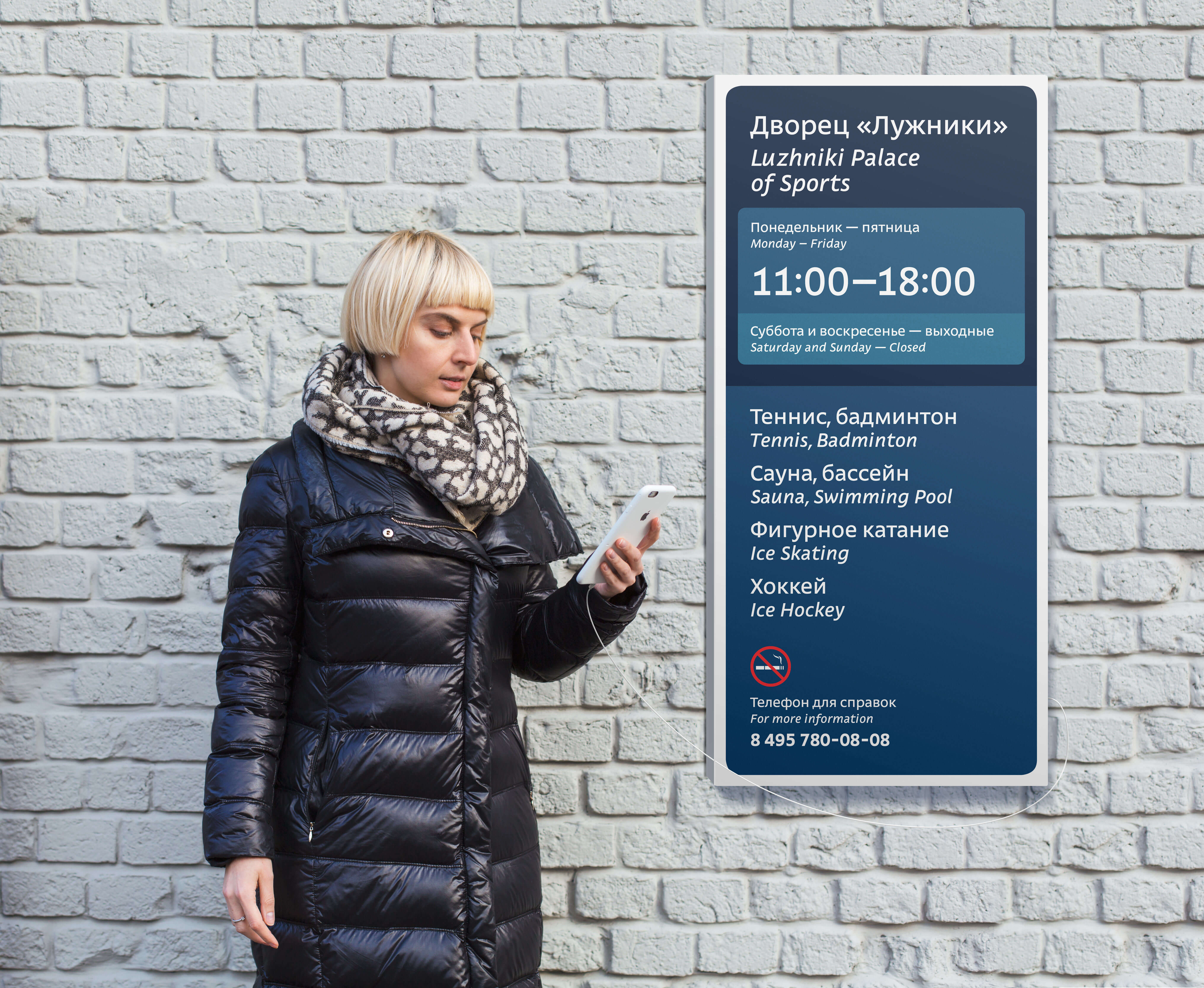
Each sign contains information about three objects. The higher the object is on the scale, the more important it is.

luzhniki area navigation switcher2 01
luzhniki area navigation switcher2 02
luzhniki area navigation switcher2 03
luzhniki area navigation switcher2 04
luzhniki area navigation switcher2 05
luzhniki area navigation switcher2 06
luzhniki area navigation switcher2 07
luzhniki area navigation switcher2 08

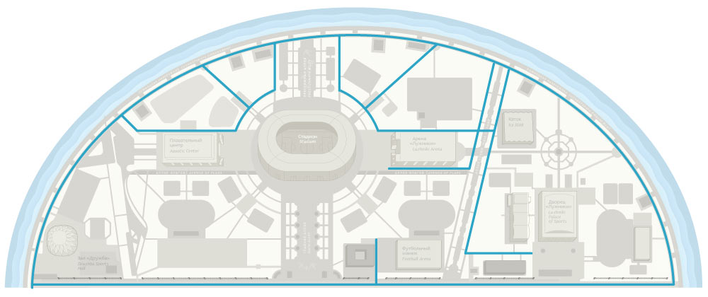
The navigation system takes into account visitor scenarios and their location in any given moment.

luzhniki area navigation usb

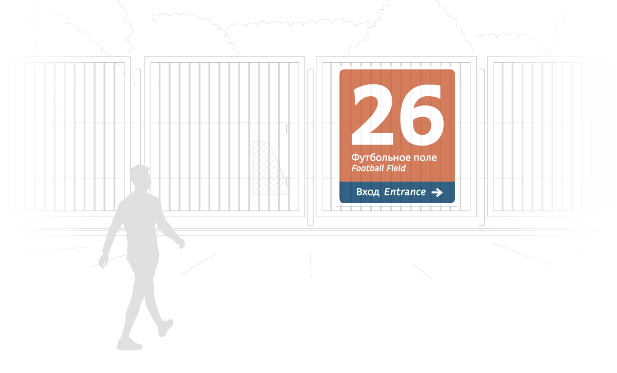
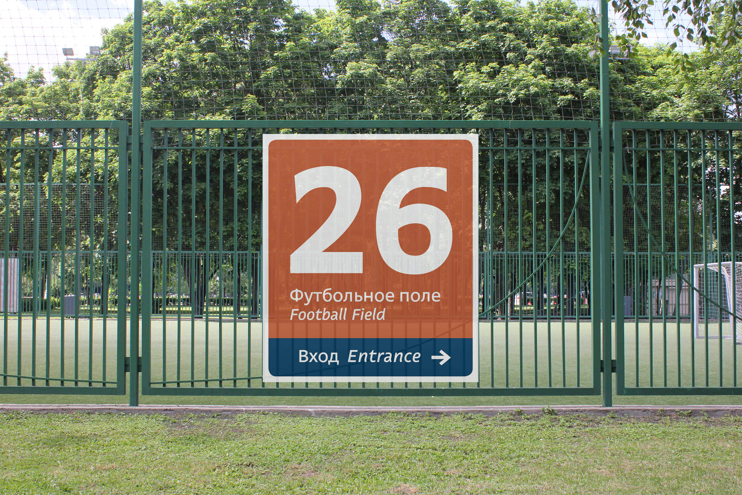
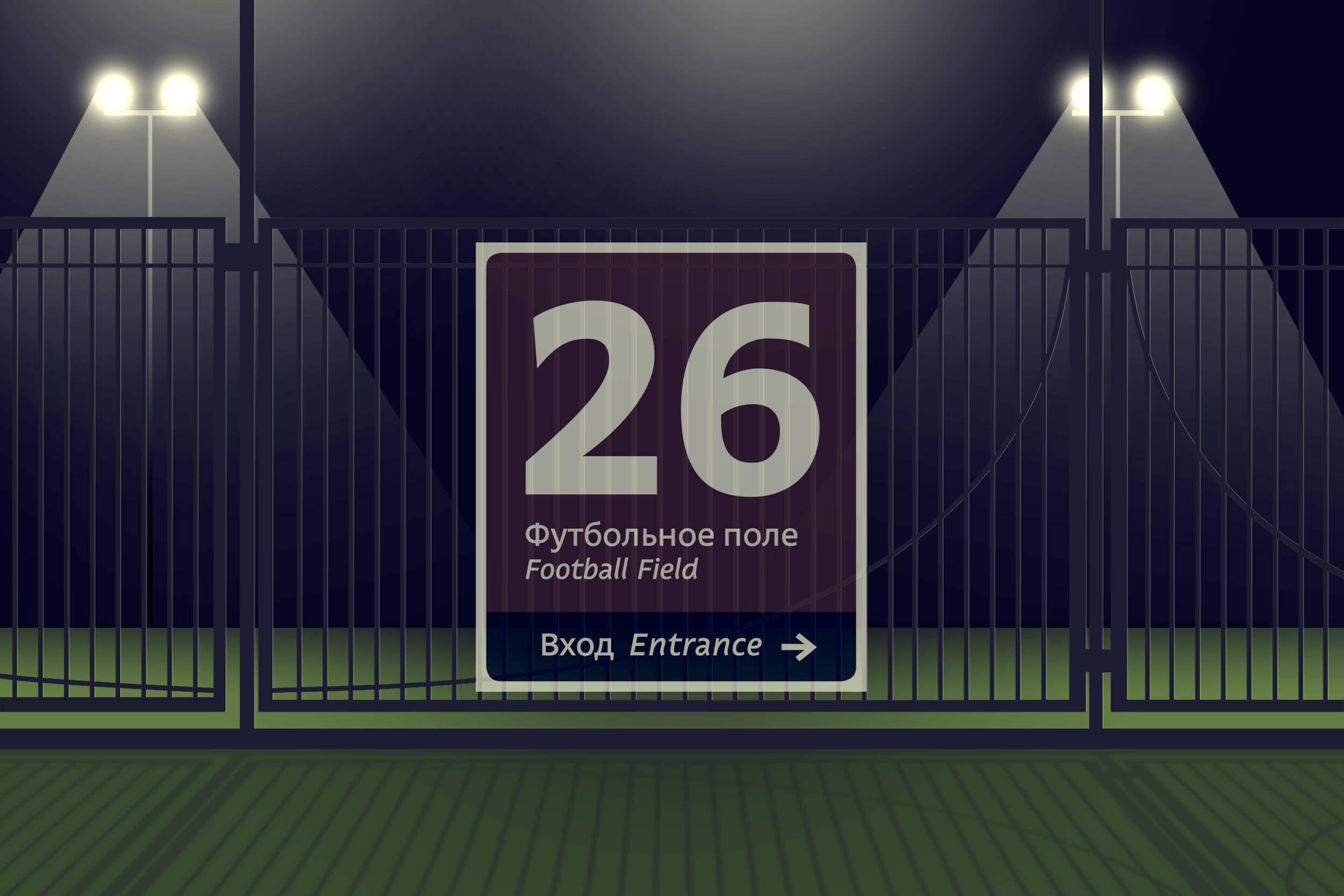
Simple and friendly pictograms look great in small and large scale.

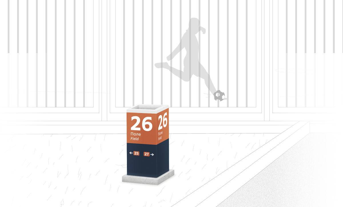
Field numbers are painted on banner fabric which allows them to be seen during the day and at night in counter light.


luzhniki area navigation traffic map
Seven entrances set direction for main spectator flows


luzhniki area navigation places 01
luzhniki area navigation places 02
luzhniki area navigation places 03
luzhniki area navigation places 04
Squaresroadsstreets and pathways

luzhniki area navigation points
Clear calculation criteria help quickly determine an object’s position on a sign.

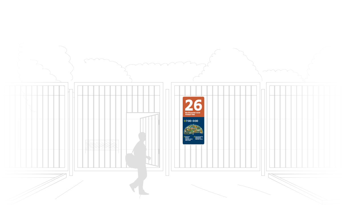
A detailed guide on using and updating navigation media was created at the studio.

luzhniki area navigation bb kpp new

luzhniki area navigation bb parking new

artistic director

art director

secret advisor

typesetter

illustrator

editor

translator

Sport  Environmental design  Graphic design  Moscow  City  Navigation  Luzhniki  Government 
Share this page: