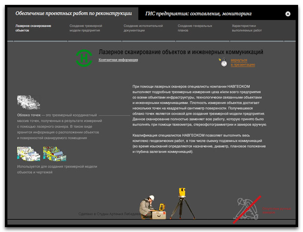
Laser scanning allows Navgeocom experts to create 3-dimensional models of workshops and plants in operation along with their underground and on-land communication networks. These are essential when preparing documents, drafts and general plans, working out reconstruction projects and evaluating the scale of reparations.
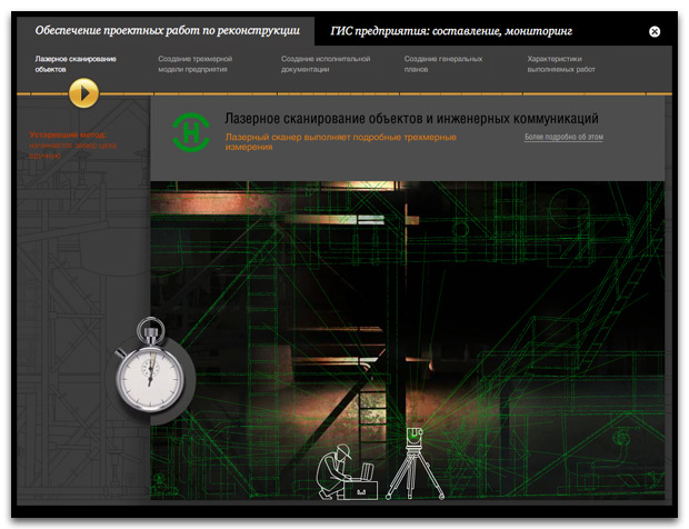
It used to take a team of surveyors equipped with measuring reels and widgets several months to perform the task. Now a couple of experts and a processing scanner will do the job in just a few days.
Introductory part of the presentation is played automatically and gives you an idea of Navgeocom’s projects. An interested viewer, if such, is welcome to read deeper into it all in the further sections.
