
atlas.mos.ru assembled and populated by the client
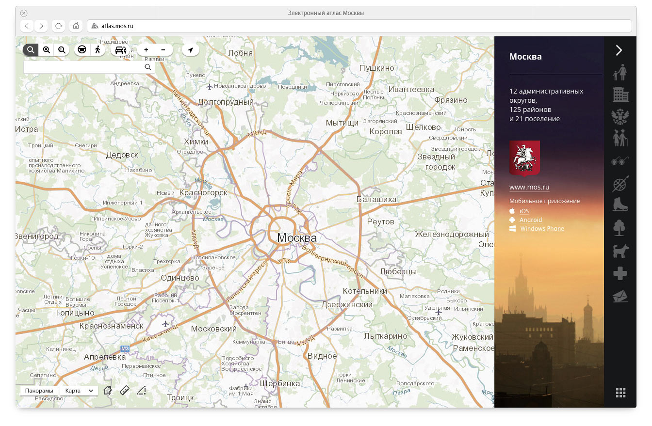
Developed by the request of the Department of Information Technologies, the Electronic Atlas of Moscow shows administrative division of the city, presents useful information about the capital’s government agencies and displays statistics by territory. Any object on the map belongs to one of the city’s administrative districts. Built-in breadcrumb navigation allows to move between levels.
Catalog
The catalog contains information about each government agency, including its contacts and hours of operation. All administrative buildings are marked on the map.
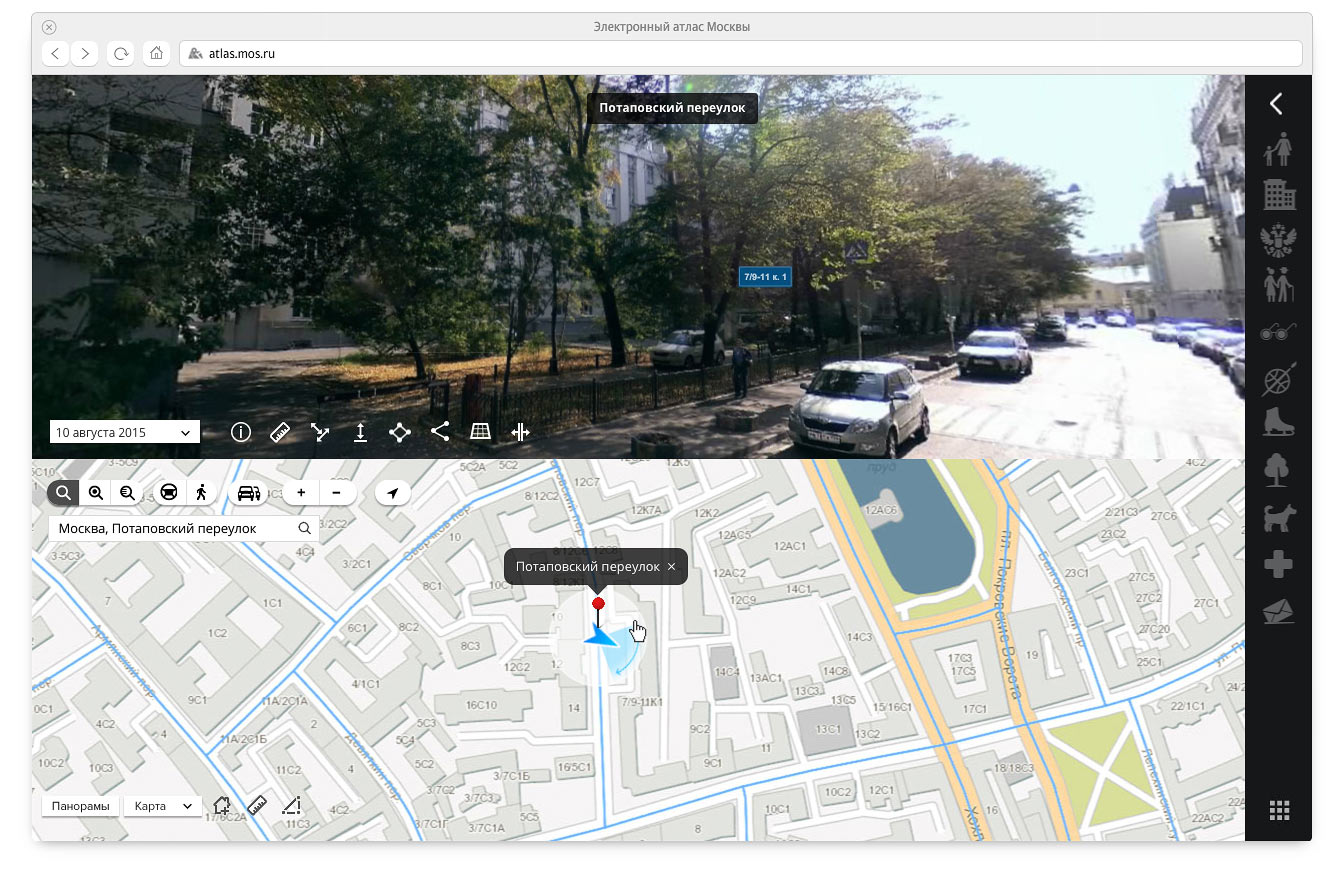
Street panoramas
A special toolbar contains interface elements for working with panoramic views of the city. It includes tools for measuring height and area of objects as well as distance between two points.
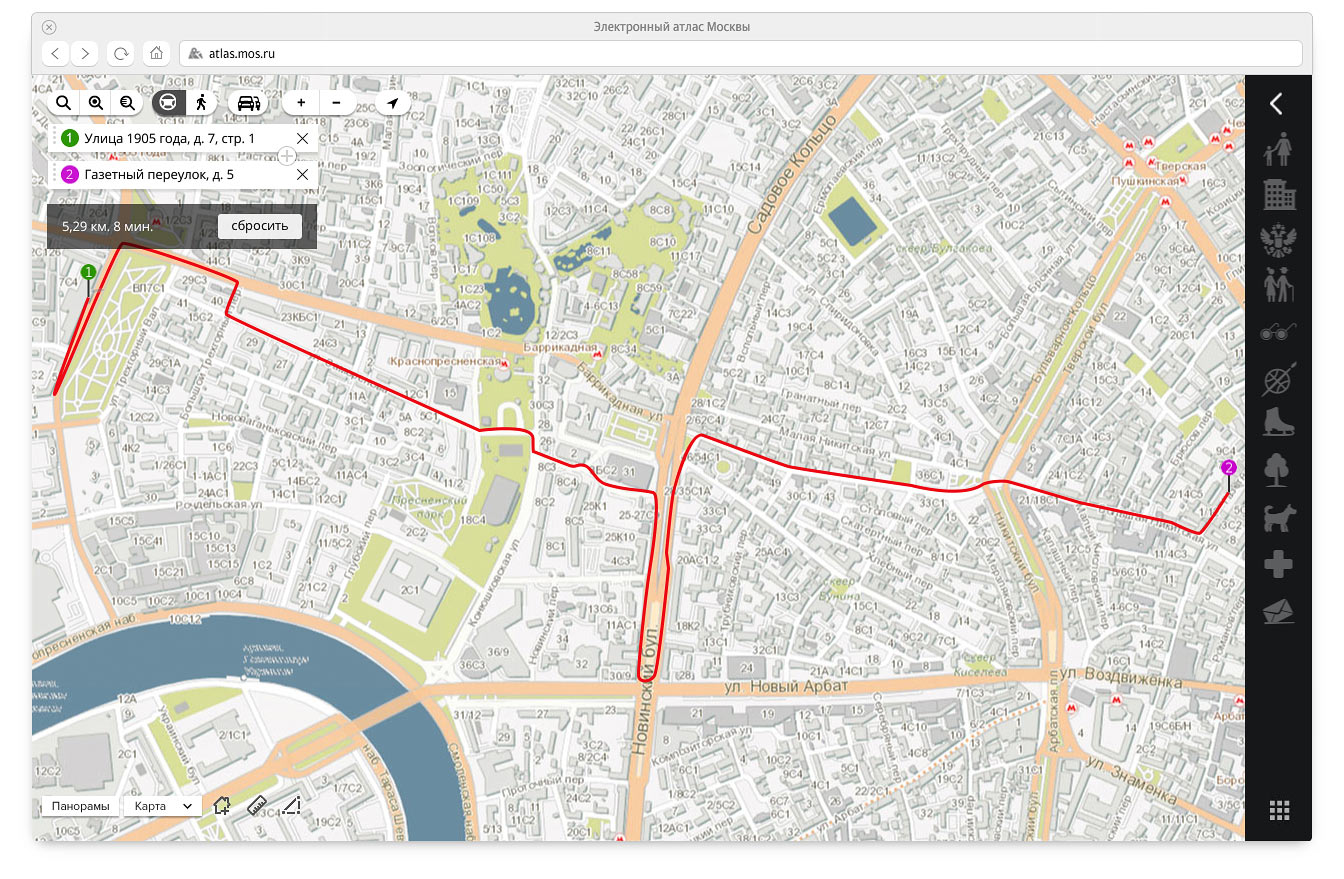
Routes
Traffic-aware route planning feature will soon be implemented in the Atlas. Directions will be given between any two points on the map.
Ground transportation
In the future, the map will include icons that will show location of buses, trolleybuses and trams in real time. Interface for finding and tracking public transport was developed with this capability in mind.
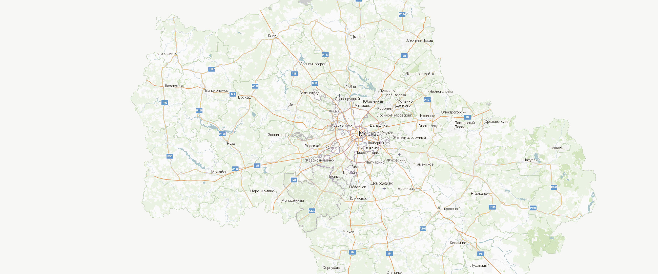
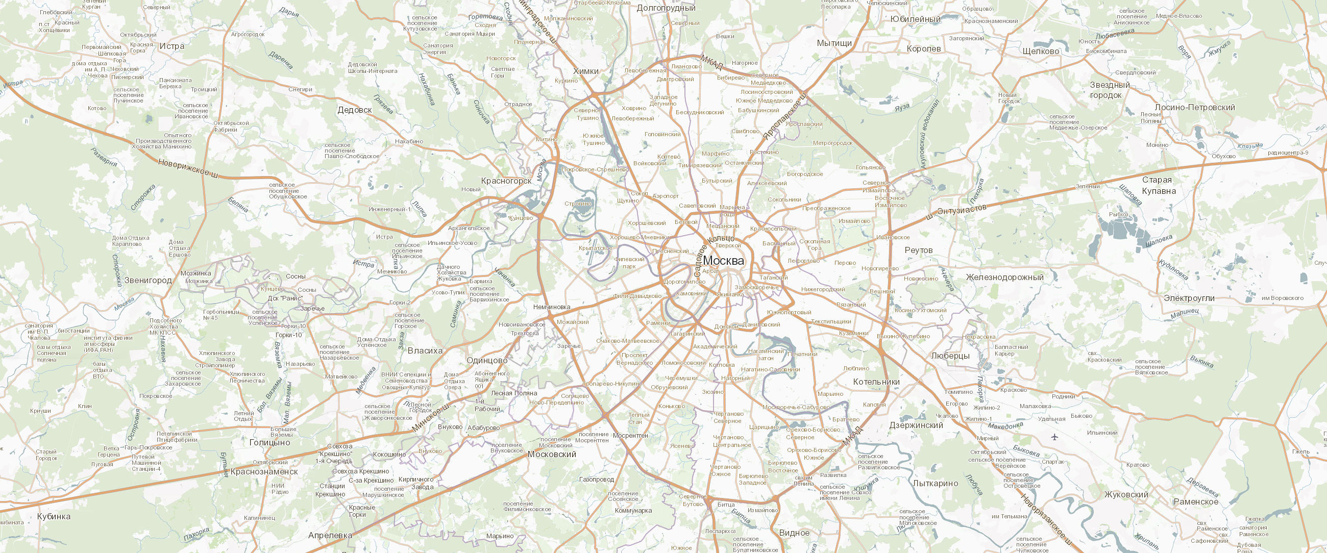
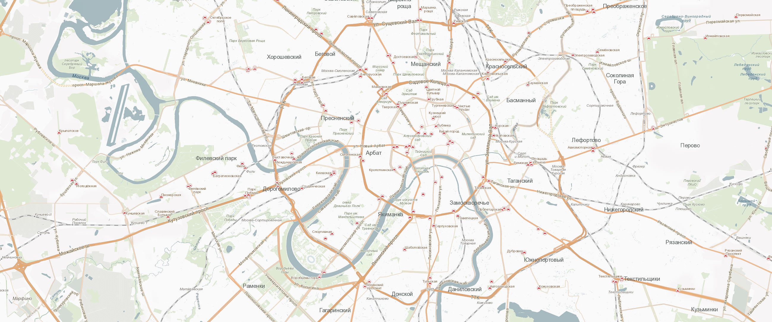
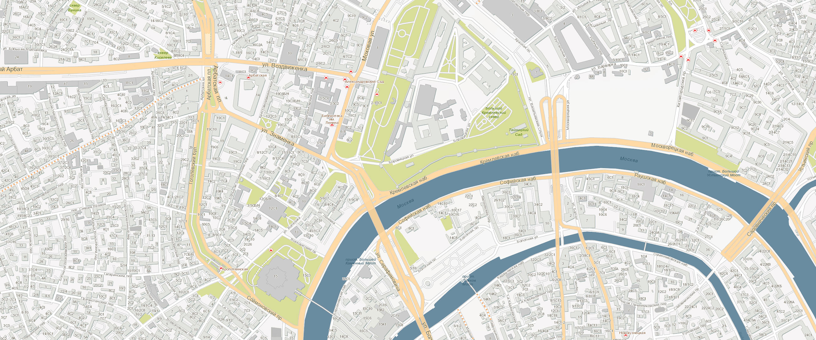
Moscow and Moscow Oblast maps
The maps style developed for the project includes two modes, map and hybrid (the latter includes satellite imagery). Colors for water basins, parks and populated areas were chosen to closely match real life which makes understanding intuitive. The color scheme takes into account the density of air: as the objects move closer, their colors become more saturated.
|
art director
|
designers
|
map designer
video designer
|
technical designers
|
technologists
|
project managers
|
