Part One Part Two Part Three Part Four
|
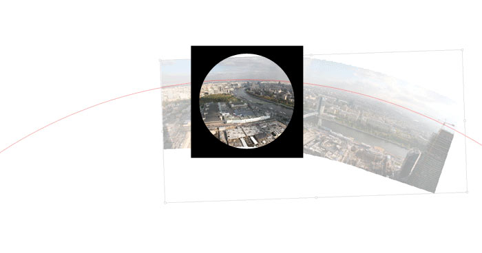
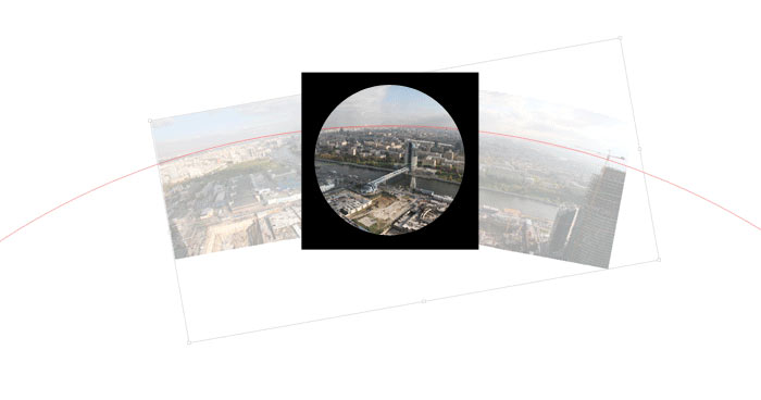
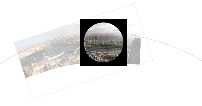
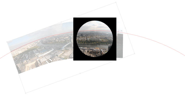
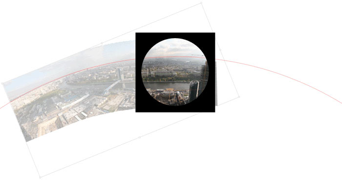
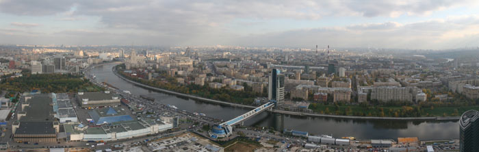
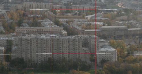
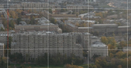
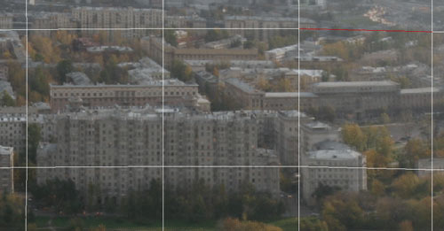
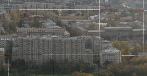
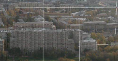
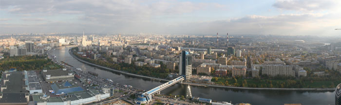
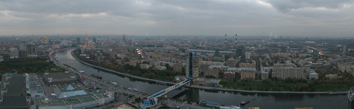
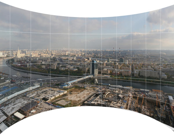
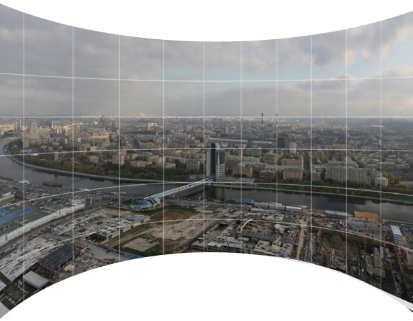
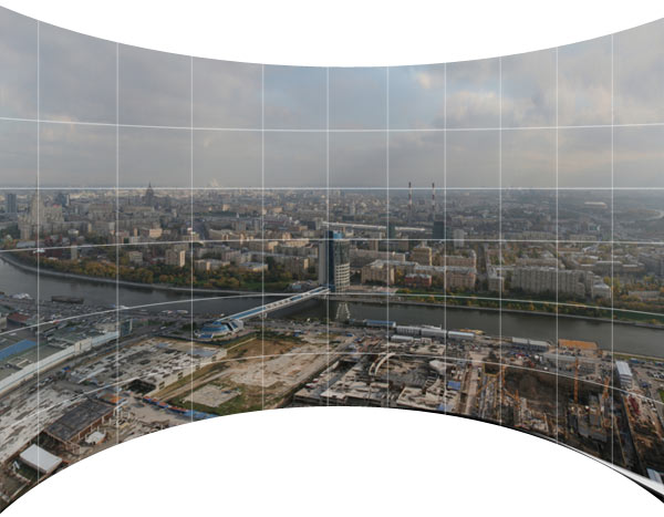
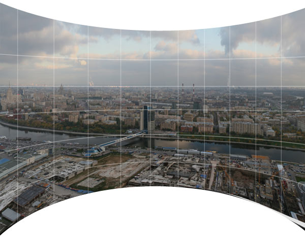
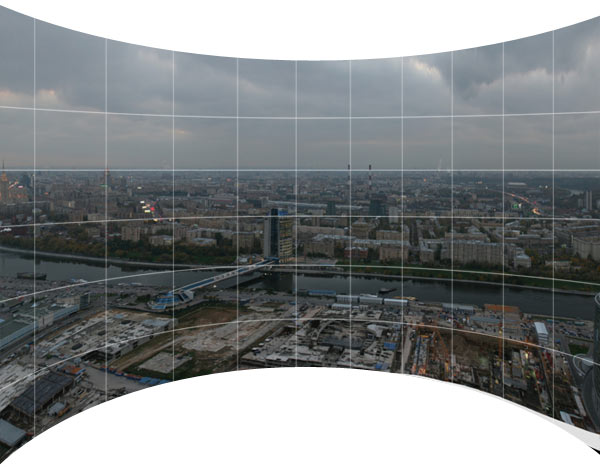
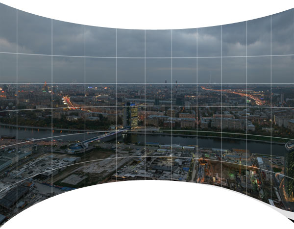
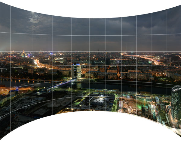
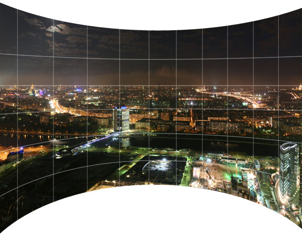
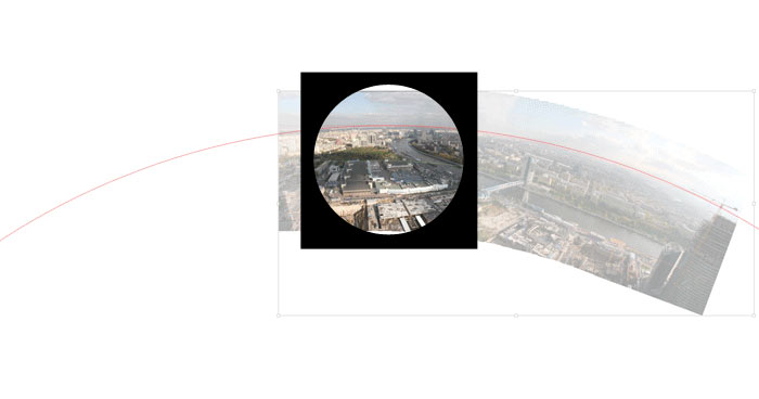
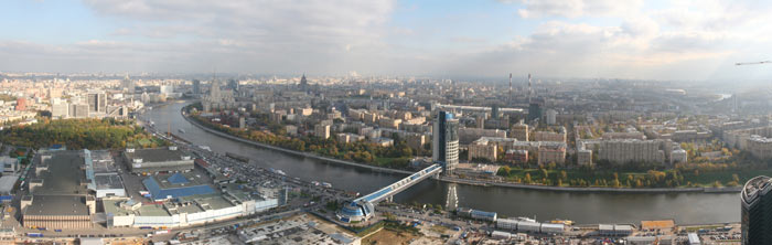
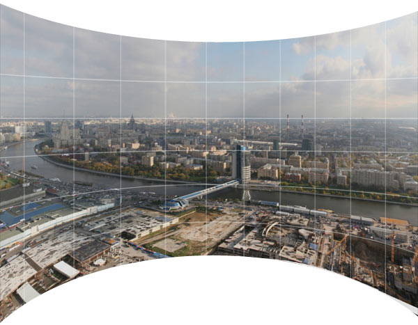
In the first part I got to the circular looking panoramas. I tried to find the center—that is where the vertical lines (buildings and the stitch lines) point to. Intercrossing vertical and horizontal lines make up a grid (which is a useful thing). |
|
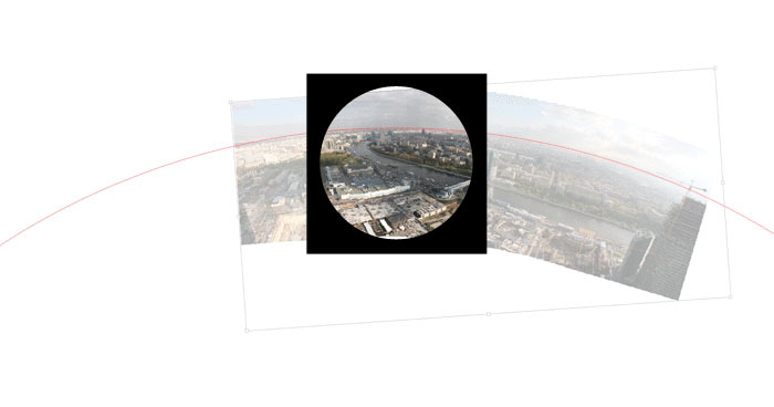
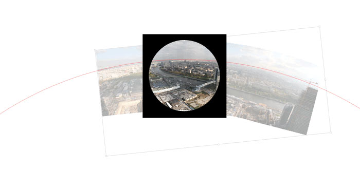
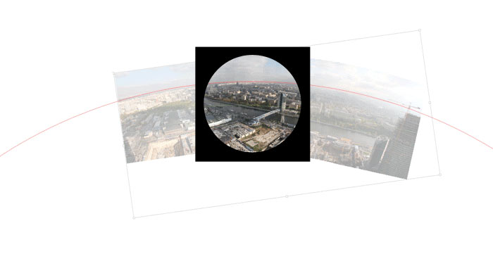
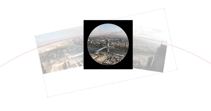
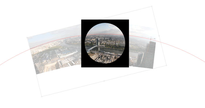
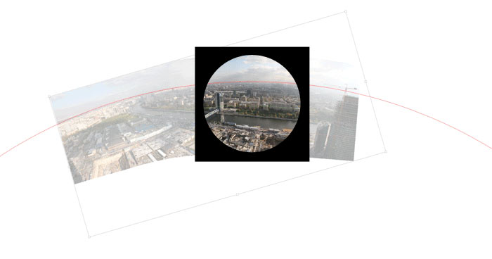
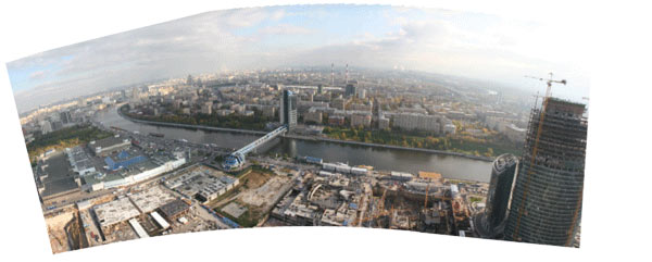
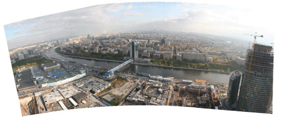
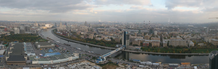
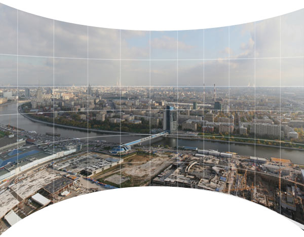
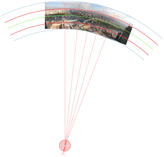
Now, if we rotate the panoramic image around the circle… Look what happens inside the frame.
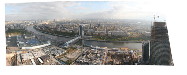
The construction site in the bottom turns as if it was in three dimensions although we are looking at a flat image.
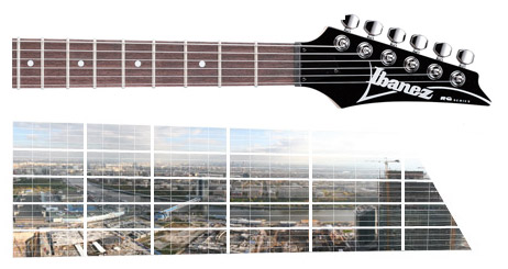
And we had only one strip of horizontally arranged shots, whereas combining horizontal and vertical selections of shots we could reach an even more significant effect. Take the two disks, for example.
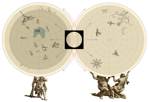
Rotating these, in the viewable area we can get a 3D-image of the surrounding or the spherical surface on the outside. This explains why ancient people imagined the giant whale, tortoises and atlantes holding the Earth—there had to be someone to turn it before the viewer, who is also moving.
Such kaleidoscopes can be used for studying an earth globe.
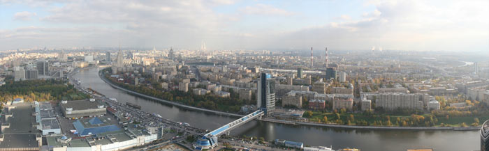
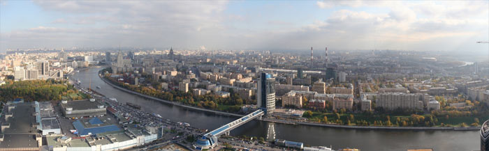
And if you still have doubts about the panorama, move the slider to the right.

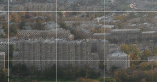
The grid is useful for controlling the proportions.
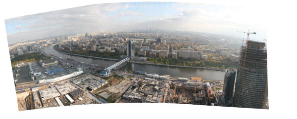
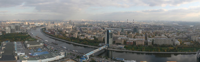
And now it’s time to see the straightened panorama jitter due to different shooting angles.
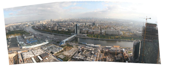
To bring back the harmony we’ve got to do the tuning.
Lets superimpose all the panoramas and pull the strings to lessen the visual dissonance.
Mi-si-sol... And here we go:
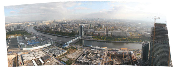
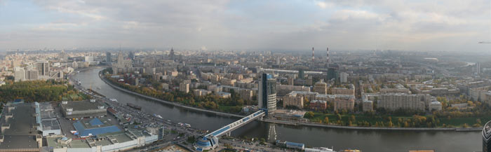
Next, to move the cross point, repeating Don Juan, we give the grid the required shape and let it hold the image.
Now, moving the panorama causes yet another insignificant image distortion, which is able to mask the remaining hardly noticeable dissonance. It would be really difficult for a viewer to spot any discordance.
Meanwhile, I was trying to open a 3D model of the complex that Federation Tower belongs in. It is 54 MB heavy with an appendage of 900 MB of proxy objects.
As I continued my attempts and Zombie put up a whole new machine for me, I could not help wondering “And why don’t we send Mark to space to shoot the earth surface...”
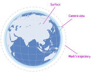
Lets figure it out, since the earth is round the collection of shots would provide us the globe gores. This, incidentally, is just one way to make a flat projection of a sphere out of hundreds. Several other ideas are available at John Savard’s page: www.hypermaths.org/quadibloc/maps/mapint.htm.
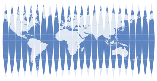
These gores would look familiar to any kid who once bothered to take apart a globe. Put back together, they make a sphere. So, what it comes to is that accurate panoramic photographs not only capture the image of the surface, but also carry information about the shape that the scanning followed.

All this folding and unfolding of the world presents a fundamental question, as beyond the Earth and its surface there is the infinite Universe with its own map. Flat projection of a sphere is rather useful, because you get a single view of the whole surface; what more could be said about all that surrounds us. And here I got an idea that it is possible perhaps to make some kind of panorama by stitching together the shots taken with a camera moving not along a line, but deeper into the space. However, I had no time left for such an experiment. I now had to put a 3D model of the complex before the ready panorama—that’s the third part of the story.