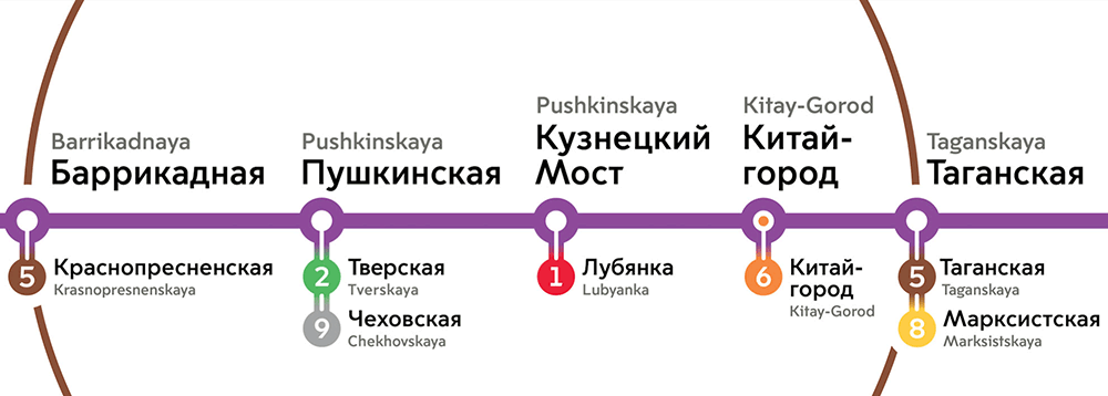
We start with the purple line. We need to change the icons and the typeface, add line numbers to transfer stations, deal with proportions and distances and synchronize line maps with the car map: the line maps are seriously lagging behind now.


Simultaneously thinking of a way to show the third ring on the map.

Too many rings, we simply won’t show the Moscow Central Circle.
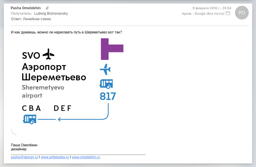
Removing terminal names at Sheremetyevo.
The art director asks to bring back the tunnels at transfers: it’s too early to discard them just yet.
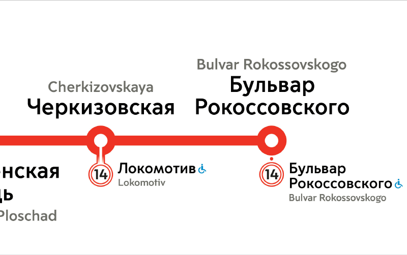
Starting to work on the maps for the red and green lines.
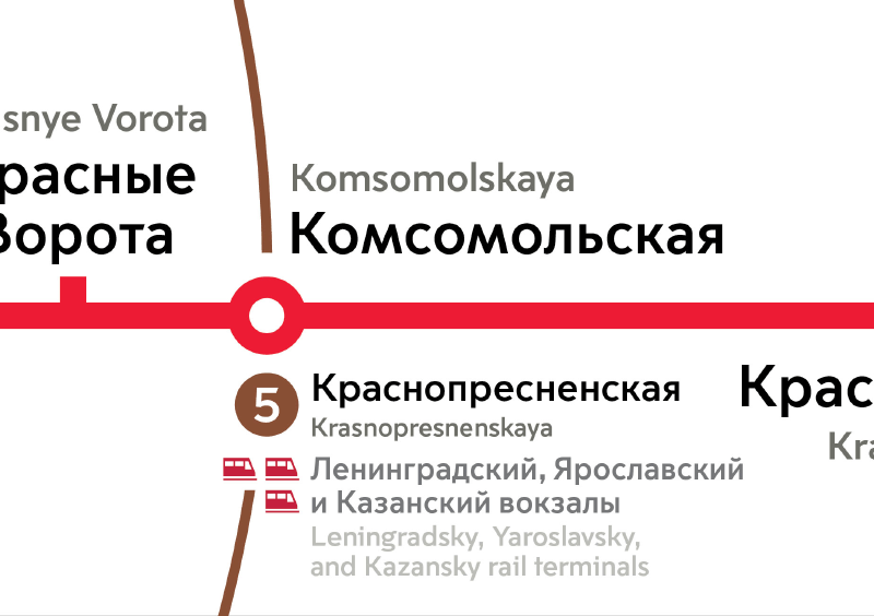
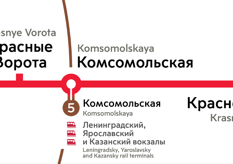
Placing three railway terminals nicely.
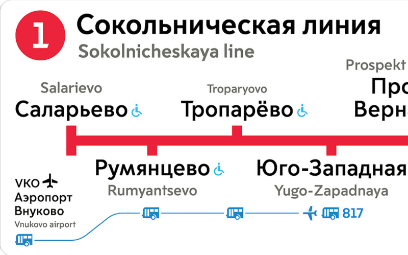
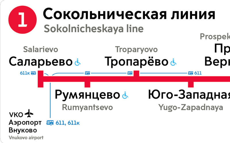
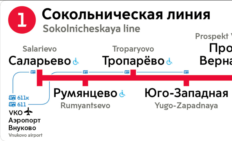
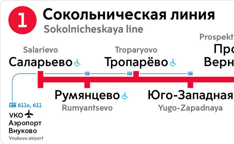
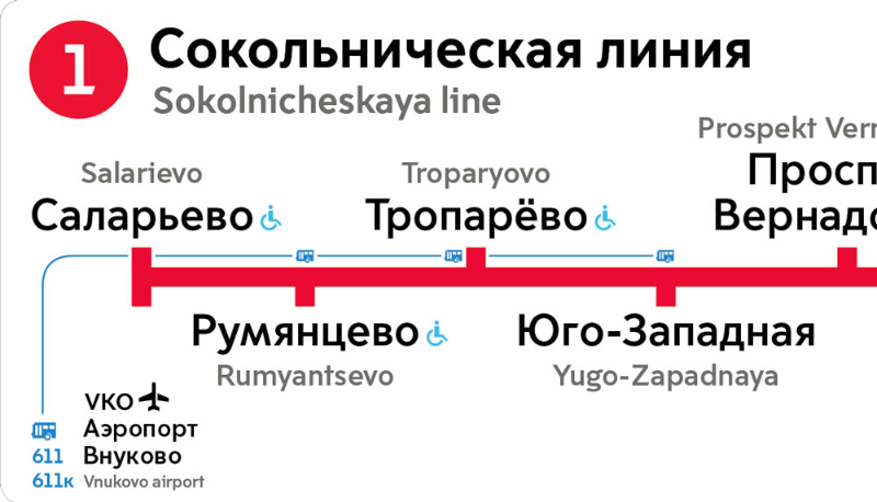
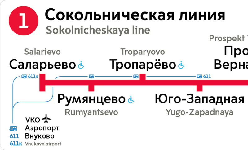
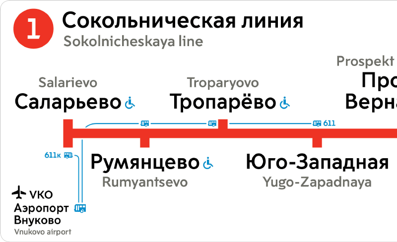
You can now get to Vnukovo from Yugo-Zapadnaya and three other stations. Sketching ways to show these routes.
1.
2.
3.
4.
5.
6.
Finalizing the second design.
Evaluating the updated maps.


We need to replace all the maps and show transfers to the Moscow Central Circle by the time it is launched.
Considering ways to show indoor transfers. It turns out not as simple as it had seemed: the white background with two thin lines won’t allow us to draw the transfer in the style we used on other lines.
Deciding to go with the first design. To compare, a ground transfer is shown on the right.
Adding new stations, transfers, bus terminals, routes to Jukovsky airport and Yujnye Vorota bus terminal, making headings smaller.
Getting the art director’s approval and sending for printing.
