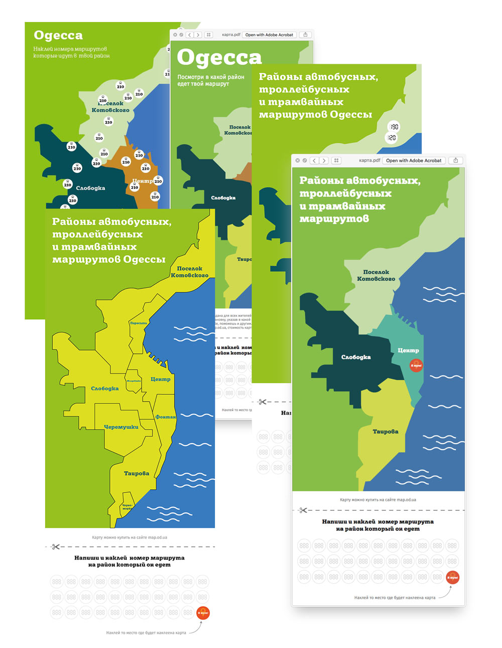
Coming up with an idea of a public map that can be filled in by the locals. Stickers with route numbers can be attached over district outlines. This will be helpful at public transport stops with no official maps.
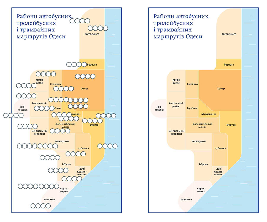
Studying the city’s districts, searching for graphic solutions, making the first attempts.
Trying to show main transport routes on the map. Toning down the color scheme. Testing it in real life.
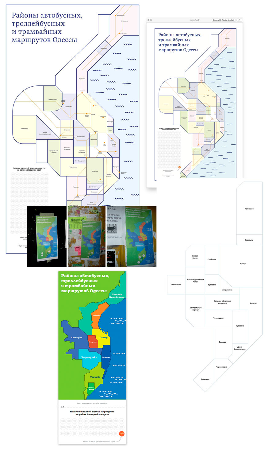
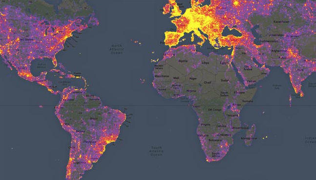
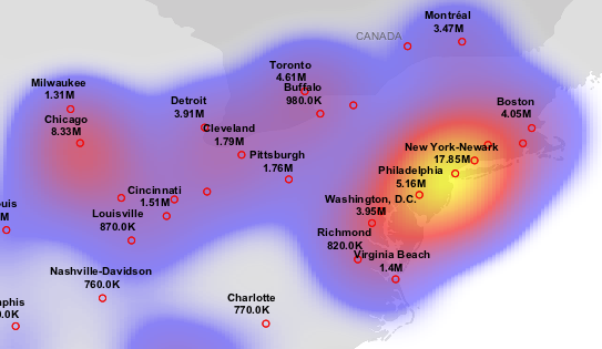
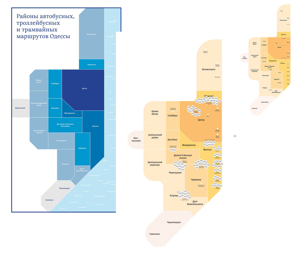
Deciding to code importance of districts with color, similar to heat maps.
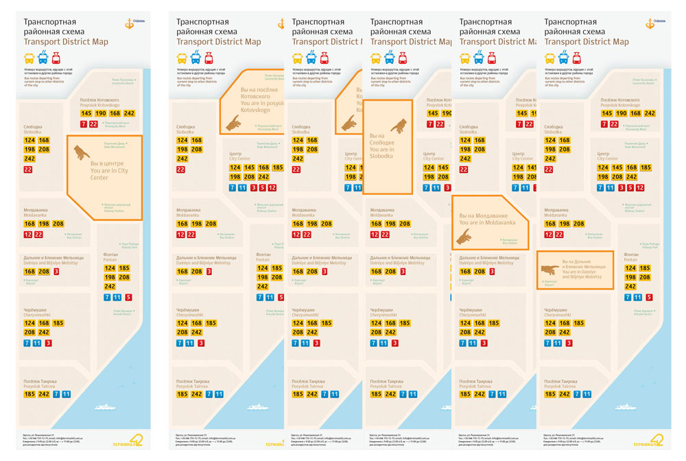
Stretching from center to the edges. Abandoning small-scale division of districts and routes, moving away from corners, changing the colors, trying to combine map areas.
What if we write the numbers in special templates or place them at will? Also trying to show number fields using transport icon outlines.
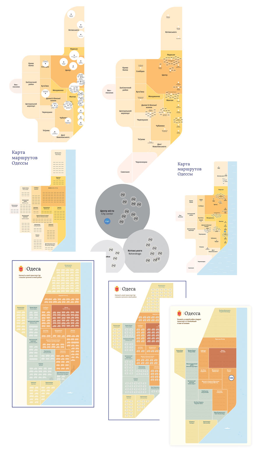
No, it doesn’t work. People can’t understand the purpose of the map right away. Besides, handwritten route numbers look like vandalism. It’s also impossible to tell how current that information is. The artistic director suggests to cut down the number of districts and create individual maps for each of them, this will mean they don’t have to be filled out for each stop.
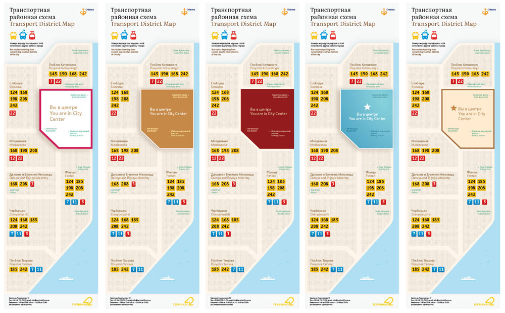
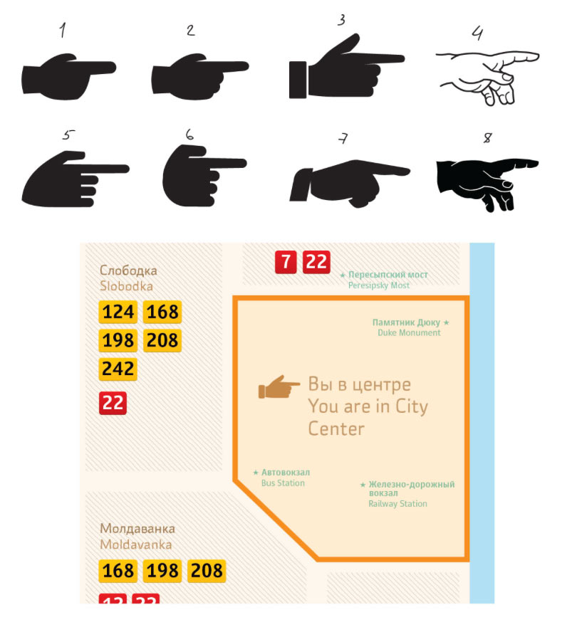
Changing the hand. Placing route numbers, trying to shade inactive areas and highlight the current location. Also making the map longer to make it easier to attach it to glass.
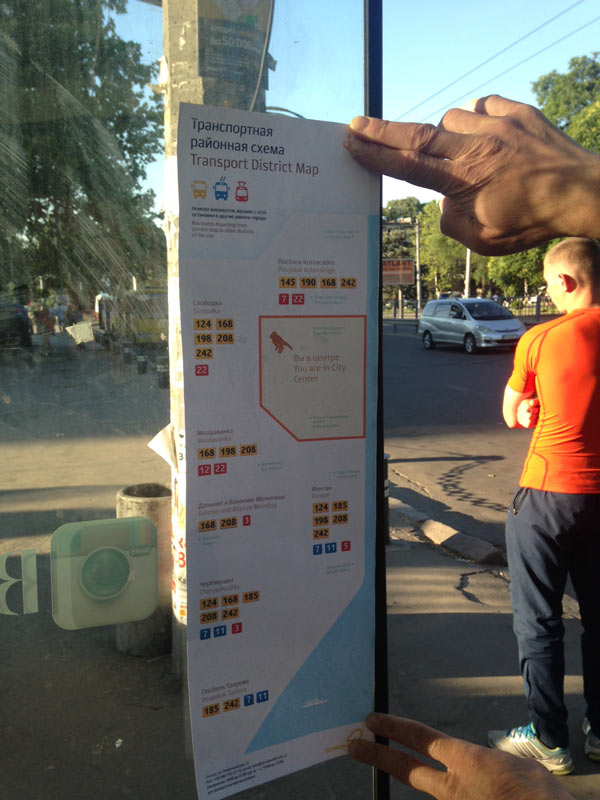
Typesetting all the maps, looking at how the graphics work. Testing the printouts.
Perfect. Sending to the editor and preparing the announcement.
